
Weather Routing
Safe Navigation | Smart Routing | Fuel Efficiency
Shipping across the world’s oceans is inherently unpredictable. Weather patterns, sea states, ocean currents, and fuel costs vary widely across regions and seasons. Making the right voyage decisions can be the difference between on-time, on-budget delivery and costly delays, excessive fuel consumption, or even hazardous situations.
Ecosail Infotech’s Weather Routing & Voyage Planning module empowers ship operators, masters, and voyage planners with dynamic route optimization that integrates real-time weather forecasts, oceanographic data, and vessel-specific performance metrics. Our intelligent platform helps users select the safest, most efficient routes while balancing time and cost considerations across global voyages.
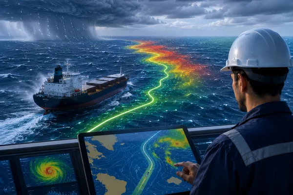
Why Weather Routing Is Essential in Modern Shipping
In today’s shipping environment, vessels are subject to:
- Unpredictable storms and cyclones
- Adverse currents and wave patterns
- ECA (Emission Control Area) restrictions
- Port delays due to congestion or weather
- Increasing pressure to reduce GHG emissions
Traditional static voyage plans, made before departure, are no longer sufficient. Instead, real-time route optimization using advanced weather data and ship-specific hydrodynamic models is needed to:
- Reduce fuel consumption
- Ensure crew and cargo safety
- Improve ETA accuracy
- Meet sustainability targets
Weather routing software enables operators to respond to changing environmental conditions while still achieving commercial and regulatory goals.
Core Features of Ecosail’s Weather Routing & Voyage Planning Tool
Real-Time Weather Forecast Integration
We integrate high-resolution forecasts from leading meteorological sources:
- Wind speed & direction (10m & surface)
- Wave height, period, and direction
- Swell forecasts
- Sea surface temperatures
- Tropical storm alerts
- Ocean currents (surface and depth)
Forecasts are updated multiple times daily, with global and regional overlays on the route planning map.
Vessel-Specific Route Optimization
Our system uses vessel parameters to customize routing based on:
- Draft and trim
- Propulsion type and max engine power
- Power/fuel consumption curves
- Speed vs. fuel vs. weather resistance profiles
- Vessel class (tanker, bulk carrier, container, LNG, etc.)
This ensures realistic voyage planning, not just theoretical paths.
Multi-Criteria Route Analysis
Compare and select the best routes based on:
- Time of arrival (fastest)
- Fuel consumption (most efficient)
- Safety (lowest wave height and roll risk)
- Emission impact (CII-compliant routes)
- Cost trade-offs (fuel vs. time penalties)
Each route is displayed with time-cost-risk trade-offs to support strategic voyage decisions.
Dynamic Re-Routing During Voyage
Conditions change mid-voyage. Our system allows:
- Real-time voyage updates based on new forecasts
- Automatic re-routing suggestions to avoid storms, piracy zones, or ice fields
- Push notifications to masters or operators
- Integration with bridge systems for ECDIS/ENC updates
This adaptive routing model helps avoid:
- Unexpected delays
- Weather-related damage
- Insurance risk
Port Weather & Congestion Forecasts
- Predict port approach conditions (wind, swell, visibility)
- Assess berth delays or holding anchorage likelihood
- Match arrival ETA with terminal windows
- Reduce demurrage or detention costs
Useful for Just-In-Time (JIT) arrivals to ports like Rotterdam, Singapore, or Houston.
Visualization & Reporting Tools
- Interactive route map with real-time weather overlays
- Charts for:
- Speed/fuel vs. distance
- Wave height over time
- Wind impact zones
- Cost-benefit graphs: time vs. fuel vs. risk
- PDF/Excel voyage summary reports (for bridge and HQ)
- APIs for syncing with onboard navigation software or shore ERP
Example Use Case
Scenario: A container vessel departs from Shanghai to Los Angeles. The shortest path cuts through a high wave region near the North Pacific.
Before Ecosail:
- Static routing leads to 3-day weather delay
- Fuel consumption spikes by 15%
- Container shift damages $250,000 worth of cargo
With Ecosail:
- System recommends a southerly deviation early in the voyage
- Arrival time remains on target
- Fuel savings of 9% achieved due to calmer seas
- Zero cargo damage and insurance claims
Benefits of Ecosail’s Routing & Voyage Planning Platform
Fuel Cost Reduction
Our users consistently save 5–15% on fuel by avoiding head seas, strong currents, or inefficient RPM ranges through dynamic planning.
Improved Safety
Avoiding rough weather reduces:
- Crew fatigue and injury risk
- Cargo loss or damage
- Structural stress and machinery failures
Precise ETA Planning
Achieve better schedule integrity, improve port coordination, and avoid unnecessary anchor time with accurate and responsive ETA forecasts.
Lower Emissions & CII Scores
Use more efficient routes that minimize fuel burn, contributing to lower:
- CO₂ and NOₓ emissions
- Carbon Intensity Indicator (CII) degradation
- EU ETS EUA liabilities
Regulatory Compliance
Supports routing that avoids:
- ECA boundaries
- Weather routing requirements under SOLAS
- IMO MARPOL Annex VI air pollution restrictions
Who Is It For?
- Ship Operators & Masters: Make real-time routing decisions with safety and efficiency in mind
- Fleet Managers: Optimize long-term fuel budgets across voyages
- Charterers: Monitor route adherence and prevent fuel overuse
- ESG Officers: Track impact of routing choices on carbon footprint
- Port Agents: Coordinate berth timing with accurate ETA forecasts
Compatibility & Integration
Our platform supports seamless integration with:
- ECDIS and ENCs for onboard navigation
- VDR and VMS data feeds
- Bridge alert systems
- Company fleet portals or ERPs
- Shipboard broadband terminals (for automatic data syncing)
Can be deployed as:
- Web-based platform for shore offices
- API-integrated backend
- Onboard client for bridge systems
Security & Accessibility
- Encrypted transmission of routing and voyage data
- Role-based access for masters, operators, and planners
- Offline caching for mid-ocean updates
- Cross-platform support: Windows, Linux, Mac, iOS, Android
Get Smarter With Every Voyage
Make your next journey the smartest one yet. Ecosail Infotech’s Weather Routing & Voyage Planning module helps you outmaneuver the weather, save fuel, arrive on time, and keep your crew and cargo safe. Whether you're managing a single vessel or a global fleet, our technology equips you with the insights to sail smoother and smarter.
Schedule a free consultation or live demo today to see how our routing solution works in real-world conditions.